The 2005 Travels of Richard n Shirley

We are fulltime RV's. This means we have no other home but our motor home. We joined the Escapees RV Club and use their mail forwarding service and forum. In addition to Escapees forum, you can find us on rv.net and lrv2.com. We are Richard n Shirley on all of them. We access the internet with a Direcway satellite dish mounted on a tripod. We do set up the dish at every place we stop for the night or more. We are #2321 on datastormusers.com. Click us and you will find our current location.

Saturday, August 06, 2005

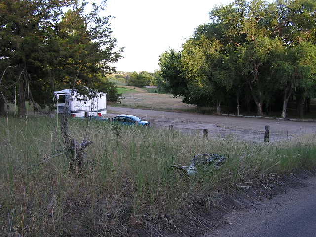
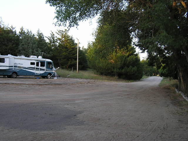
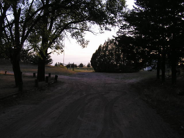
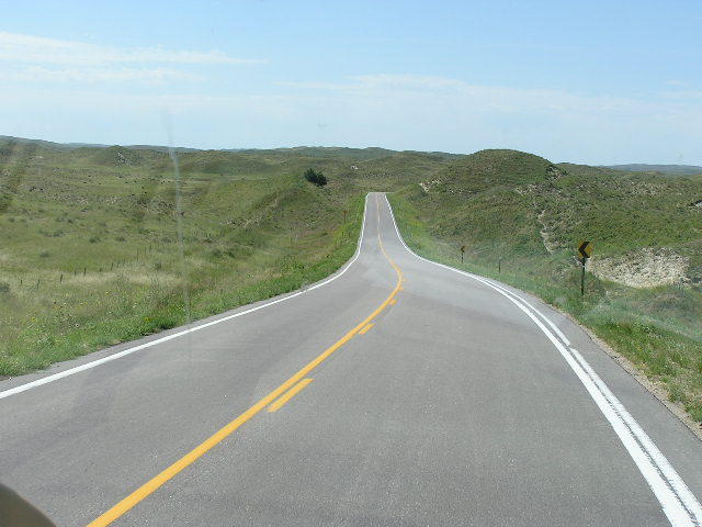
This is not the city connections, but it appears they belong to the rv park in the background. The park is not worth any further mention.

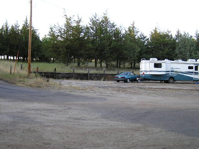
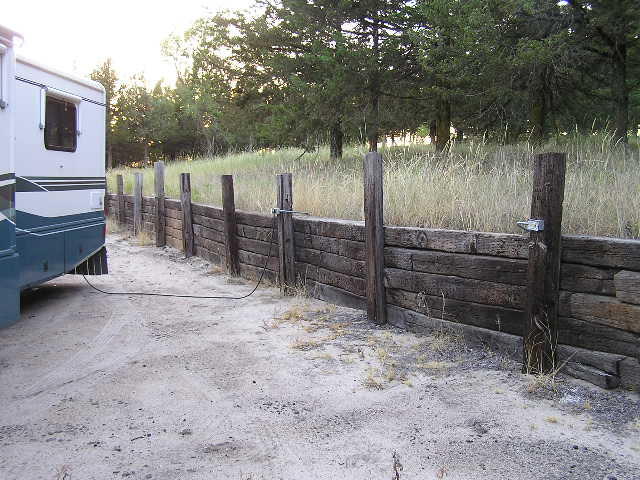
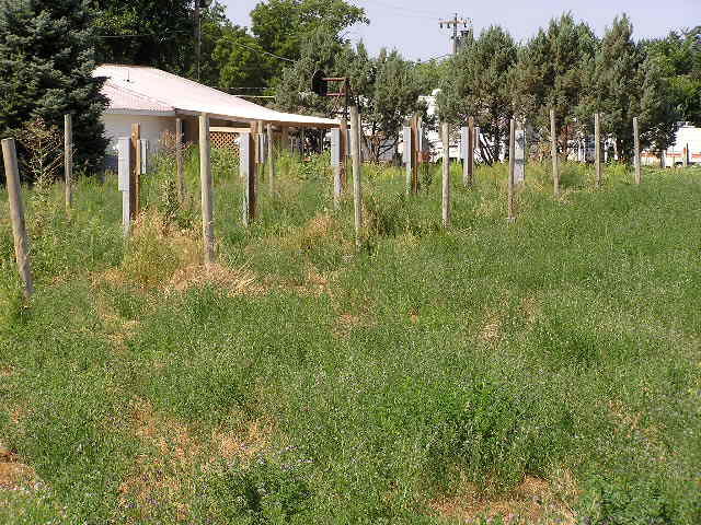
This is what we found at the ten rv connections in Broken Bow,NE. This area is prior to the dry water crossing and to the left after turning from state 2. This is the only area of rv connection we found for ten hookups. It may belong to the rv park and not the city.

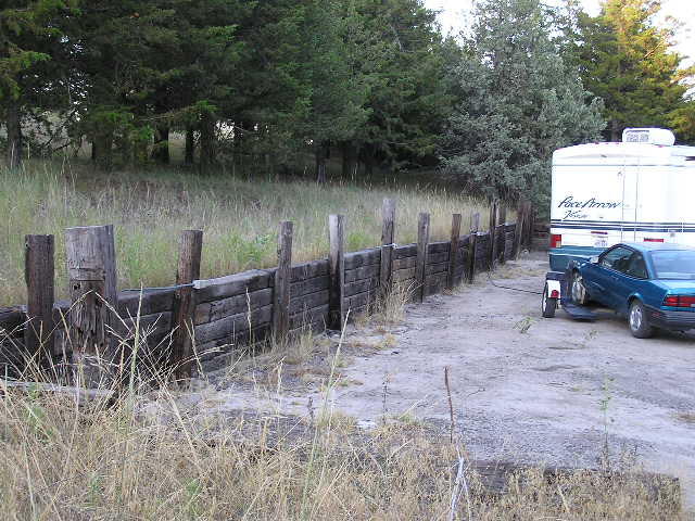
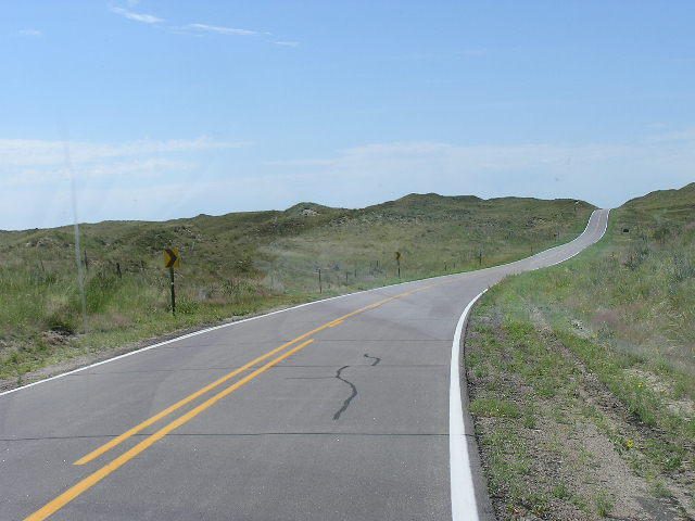
The only other area possible was after the dry water crossing and was occupied by a trailer. This was one spot.
There is a dump station to the right of this last spot and its a drive over type. There is a turn around to the right of this dump station.

All the sites are backin.

We have moved on to Kearny,NE for the night. See our location at datastormusers.com, #2321, richardnshirley. This is the web site to see where we are prior to my being able to update ths blob. Depending on where we are, we may not set up the dish. We are not usually available by phone as we travel off the interstate and this means we may not have phone coverage. If you wish to contact us, send us an email as we are usually on every night and answer the emails promply.

We are daily forum visitors of escapees.com, our rv club. We also frequent rv.net and irv2.com. We are richard n shirley on all the forums and you can contact us there if you lost our email address, datastorm or any of the forums. We would to hear from our readers.

Wednesday, August 03, 2005

A view of the dump station. This is west of the shelter and past the upright post. Its capped and we will try to open it. There is water close by.


A view from the entrance road off state highway 2 looking south. The camping parking is to the left and the park is beyond but to the right. We have a Direcway satellite dish. The only opening for us is thru the trees.


This is a good pic of the water and dump. As you can see it is capped and above ground. It is about 15 feet beyond the posts.

The dump is full of sand and un useable. The local motel has rv hook ups for a price. The national fores 15 miles east does have a dump for the $3.00 daiy use fee.


A view from the park at the entrance. The two columns frame the entrance road. The sign for the park is gone if your traveling east. The west bound traveler has a sign that states city park, welcome camper. The city needs to mow all this entrance area, fix the sign and make the area a "welcome" to rv campers. Other wise this is a useless camping area for the rv group.
I pulled in here with a tank of gas at 3/8 full. The gas stations east of town are selling gas at $2.32.9.We need to fillup with 45 gallons. That is a lot of money.
We played golf at the city 9 hole course. It cost us $9.00 for the cart and $20.00 for the golf, DW played too. Get the cart key at the BP station east of town. There are two places to eat, one east end of town and the other is east of town. There is a nice motel here. We have not seen a laundry here.
The city needs to fix the park sign, mow the park and make the dump useable. other wise this a useless place for the RV group. We should be welcomed as the bikers are for the Sturgis ralley. We have money to spend and we travel thru here daily, not once a year. So far I have has a good welcome and a cold welcome.
I hope the city reads this as I did leave my blog address for them.

Looking north showing the west end of the parking area. There is a water outlet on the left.


This is behind the rv showing the posts and the electrical boxes. the one on the right is a 20 amp outlet. The next one is a 30 amp which is connected to the rv. The outlets are on every other post. for back end use. All the 20 amp boxes are duplex. This view is to the west.


As you can see, there is no other way to park other than back end. Parking like we are uses most of the space. The road shown is an exit to the east. Watch for low limbs.
The edge of the asphalt can be seen in this pic. The sand covers part of the asphalt. You are in the sand hills of Ne here.


This is a view of the west end of the parking space. In this and the other pics is the knee high grass that is all over the camping area parking. The park itself across or south of this is mowed and better taken care of.

More pics of the city park.

This is the view from the highway after entering. The drive tees into the park and goes right here. the road will deadend just past the shelter. This view shows where the dump station is in the background.


This is the closeest water to the parking area. And it does work as DW is showing. Notice the RR ties. They will frame the "U" for the parking area.


This is the road west out of the park. It is the dead end. Beyond the fence is the school track and football field. This is looking west.

Tuesday, August 02, 2005

This is the first pic I took. This is the walk everone takes with the flags of the 50 states, territories, possessions, etc. Rather impressive. And if you look real close there is my traveling companion, look to the right.
Coming up here, the climb was a 10% grade. Going down the same way it will be a HUGE 10% grade. No, we came in the car.

The floor here is rock or granite. Will last nearly forever.


And of course, the four presidents. Can you name them? A few facts about the faces.
Each head measures 60 feet from top of head to chin.
90% of the carving was by using dynamite.
Each eye is 11 feet across.
Each nose is 20 feet long except for George which is 21 feet.
Each mouth is 18 feet across.
The full carving is 185 feet across x 150 feet tall.
And Abe's mole is 16 inches in diameter.


400 men worked on Mt rusmore and there was not one loss of life. quite remarable since this project took 14 years, from Oct 4, 1927 to Oct 31, 1941. It cost a total of $989,992.32. The work was stopped because of a lack of funds due to the beginnings of WW2.

And here is another of my favorite pics. Can anyone guess why?

Sunday, July 31, 2005

The road thru the sandhills of Nebraska. You cant tell it from the pics but the hills are all sand. Some of them reach upwards to 4000 ft. The road was hilly too. Some of the climbs were pretty steep and brought the speed down to 35 at the top of the hill while I was doing 65 at the bottom of the climb. The speed limit here is 55. There was minimal paved shoulder to none. The road from Gorden to Ellsworth was mostly under repair with new asphalt. And as we went south from Gorden, the road got progressively narrower. Im sure we were on some 10 ft roads from the width of the tow dolly which is 8.5 ft wide, same as the rv. Keeping the dolly on the pavement is a real trick.
This area a large aquifer which the ranchers tapped into for their cattle. There was several places on the trip where the ground water surfaced and formed lakes for the cattle and wild life.
As you readly see, there is minimual shoulder. Most of the road bed thru here was built up high enough to make it to dangerous to pull very far off the road.
Hills, hills and more hills. This is the largest sand hills in the Western Hemisphere. We went west from state 27 and state 2 to our current location of Thedford. And there is still sand hills.
As soon as the mail arrives, we will be headed south and east to Iowa. We sat down and decided to go thru iowa as they have netter roads than MO. The MO roads are narrow, rough and have gravel for shoulders.
Even the interstates are bad. Makes you wonder where they are spending your federal tax money for roads.

More of the sandhills of NE.